Published on Thu, 2016-05-19 09:12
Representing census data in a European population grid dataset has become one of the key elements within the European Statistical System. As a result of this interest Eurostat in cooperation with the European Forum for GeoStatistics (EFGS) launched at the beginning of 2010 the project GEOSTAT, to promote grid-based statistics and more generally to work towards the integration of statistical and geospatial information in a common information infrastructure for the EU. Its aim is to develop common guidelines for the collection and production of spatial- and grid-statistics within the European Statistical System. The creation of these grid systems allows the analysis through time of sociodemographic changes independently of regional, province, county or local boundaries transformations. From the point of view of the EHPS network, these new developments could make feasible the integration of historic economic and demographic information with historic and modern geographic information on a common geographical framework with contemporary grid-based statistics. The purpose of this integration is both to enable analysis and visualization. A specific problem in the integration is that the demographic data is individual level longitudinal data whereas the historic maps are only snapshots of the geographic conditions and the change of space within space is very fast and this could be overcome with these new developments. Therefore this workshop joined together scholars working on georeferenced sociodemographic historical data with scholars using grid-based systems and to develop tools for the use of these systems for the analysis of historical population data. We were welcomed freely and kindly, and we take the opportunity for thanking them, at the facilities of the Valentian Institute of Economic Research which co-organized the workshop.

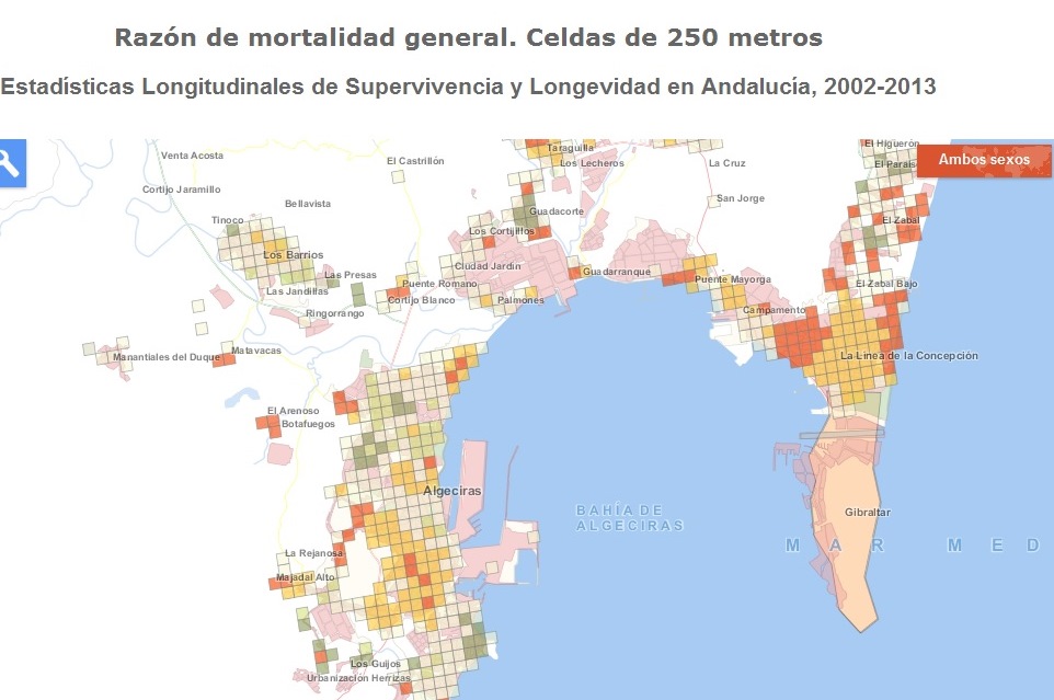
Mortality ratios Andalusia 2002-2013 at 250 square meters grid. Bay of Algeciras.
